
GeoInfoMex
by Servicio Geológico Mexicano Mar 14,2025
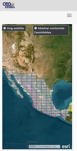
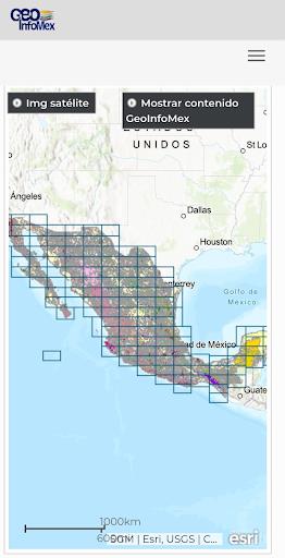
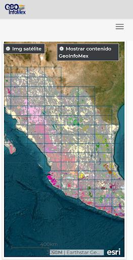
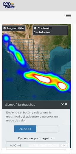
Unlock Mexico's geological secrets with GeoInfoMex, your comprehensive geological exploration app. This powerful tool puts geoscientific data at your fingertips, revealing the hidden wonders beneath the surface. Access a wealth of resources, including geological, mining, and geophysical data, geoch

 Application Description
  Apps like GeoInfoMex